Cazorla, Segura and Las Villas Natural Park Guide
Guide to the Sierras de Cazorla, Segura and Las Villas Natural Park: Torre del Vinagre visitor centre, the Cerrada del Utrero trail and the Segura source.
In this guide
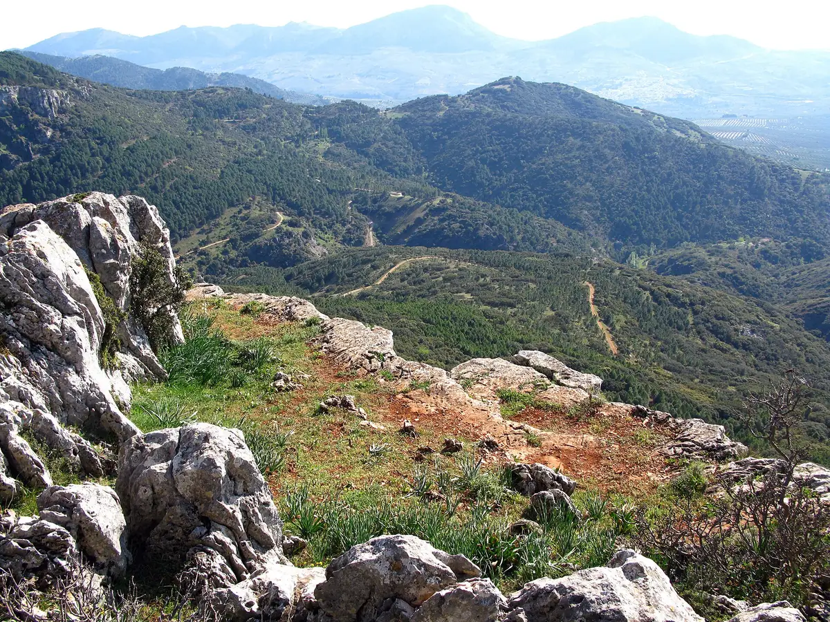
The Sierras de Cazorla, Segura and Las Villas Natural Park is, according to the Junta de Andalucía, the largest protected area in Andalusia: around 210,000 hectares spread over 23 municipalities in Jaén. This guide summarises the verified facts you need to plan a visit of several days.
The park in figures
According to the Junta de Andalucía, the park covers 210,000 hectares and combines several protection designations: National Hunting Reserve (1960), UNESCO Biosphere Reserve (1983), Natural Park (1986) and Special Protection Area for Birds (1988). The Junta cites more than 1,800 plant species and about 200 vertebrate species. Its public-use facilities include 21 signposted trails, 18 recreation areas, 12 viewpoints, 10 free-camping areas and 6 campsites (figures from the planning approved by the Junta, which may have changed).
Sierra de Cazorla and the Guadalquivir valley
The Torre del Vinagre Visitor Centre is on the Carretera del Tranco, km 48 (Santiago-Pontones). According to Jaén Paraíso Interior, it offers interpretation of the natural and cultural environment, a presentation on the park’s management, information for planning activities, a café, a shop selling local products and a museum, with the Hunting Park nearby. Confirm the opening hours before you go (phone 953 713 017).
According to the Junta de Andalucía’s trail sheet, the Cerrada del Utrero trail is a 1.7 km loop with an estimated time of 45 minutes, medium difficulty and steps carved into the rock; the maximum elevation gain is 156 m. It starts at the Cerrada del Utrero information point, where you can leave your car.
Sierra de Segura
The source of the Segura river is at Fuente Segura (Santiago-Pontones), above 1,350 m according to Guía Repsol, in a recreation area with a wooden fence that prevents bathing in the protected spring. There is a walking route from Pontones of about 5.5 km, under two hours, according to a hiking guide. Segura de la Sierra and Hornos de Segura, with their fortresses, are among the points on the “Castles and Battles” cultural route of Jaén Paraíso Interior.
Las Villas and forest tracks
Las Villas occupies the west of the park. Before heading there or onto forest tracks, ask at a visitor centre about access and current restrictions; we could not verify a specific traffic regulation.
What to eat
The area produces extra virgin olive oil protected by the Sierra de Cazorla and Sierra de Segura Protected Designations of Origin, and Segureño lamb has Protected Geographical Indication status. Traditional dishes include andrajos and rin-rán. If you want to stay in the province, see our page on destinations in Jaén.
Tips
- Mobile coverage may be missing in parts of the park: download offline maps before setting out.
- Do not count on refuelling inside the park; fill up before you enter.
- If you want to camp, the park’s planning lists free-camping areas and campsites; confirm current conditions with the park.
Sources and references
Frequently asked questions
How large is the Sierras de Cazorla, Segura and Las Villas Natural Park?
According to the Junta de Andalucía, about 210,000 hectares, the largest protected area in Andalusia, spread over 23 municipalities. It has been a UNESCO Biosphere Reserve since 1983 and a Natural Park since 1986.
Where is the Torre del Vinagre Visitor Centre and what does it offer?
On the Carretera del Tranco, km 48 (Santiago-Pontones). It offers park interpretation, information for planning activities, a café, a shop selling local products and a museum. Confirm the opening hours before you go.
How long is the Cerrada del Utrero trail?
According to the Junta de Andalucía's trail sheet, it is a 1.7 km loop of about 45 minutes, of medium difficulty.
Can you camp in the park?
The park's planning lists 10 free-camping areas and 6 campsites. Confirm current conditions with the park before you go.
Related articles
Huelva
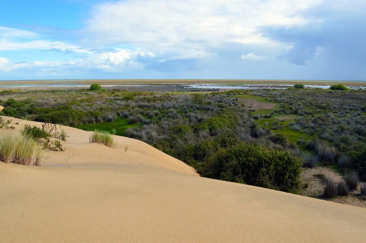
Doñana National Park: 2026 Visitor Guide & Tours
Complete visitor guide to Doñana National Park: guided tours, booking tips, birdwatching seasons, Iberian lynx habitats, and park access.
Málaga
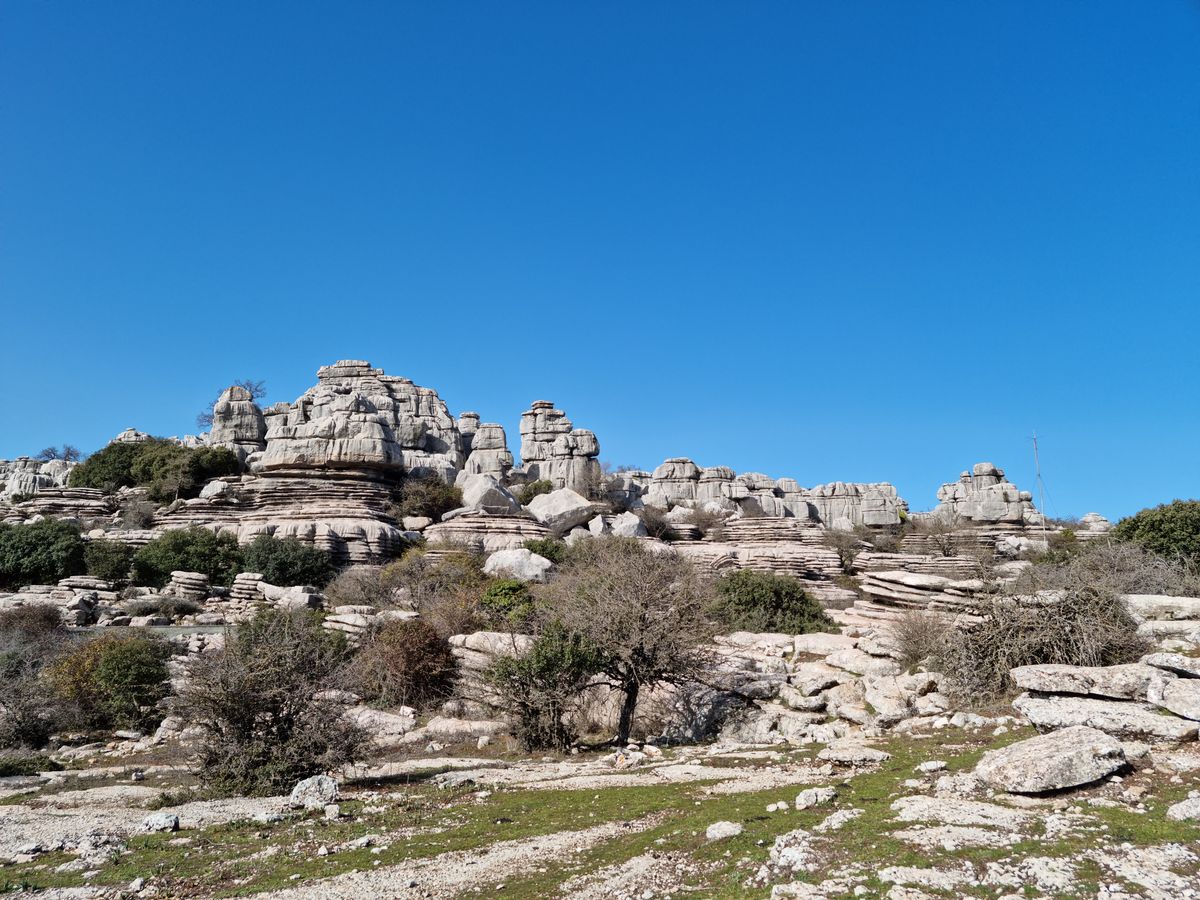
El Torcal de Antequera: Trails and How to Get There
El Torcal de Antequera, a natural wonder in Málaga: unique karst formations, hiking trails, endemic flora and fauna. How to get there and suggested routes.
Huelva
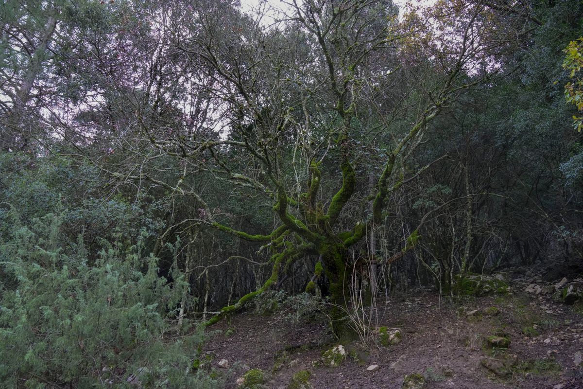
GR-48: Walking Sierra Morena in 7 Stages
The GR-48 trail crosses Sierra Morena through Huelva, Seville, Córdoba, and Jaén. Stages, landscapes, and tips for hiking the least explored Andalusia.
Find places to stay in Andalucía
Compare hotels, apartments, and stays with free cancellation on many bookings.
Affiliate link: if you book through it we earn a commission, at no extra cost to you.